
|
阅读:1429回复:1
Introducing ArcGIS Earth – 3D Made Easy
Demand for 3D is growing. As more companies, governments, and nonprofits use 3D, it is becoming expected for communicating plans, analysis, and operational information, in fields as diverse as engineering, construction, and emergency response. Users benefit from the immersive and visually compelling experience only 3D can provide.
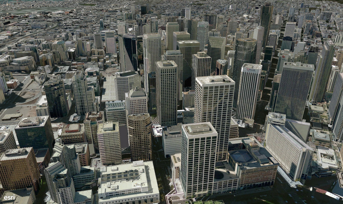 The ArcGIS platform’s 3D capabilities span a number of products that are built to meet the needs of our diverse user base. At one end of the spectrum, ArcGIS Pro enables users to do advanced 2D and 3D visualization, editing, analysis, and publishing. At the other end, the 3D Scene Viewer allows anyone with a web browser to easily view, create, and share location information in 3D. Today, we’re excited to share that we’ve begun work on a new app, called ArcGIS Earth, which extends our 3D offerings. ArcGIS Earth provides a lightweight, easy-to-use interface for immersive 3D that complements the capabilities of ArcGIS Pro and the 3D Scene Viewer with a focused experience for working with geospatial data on the globe. 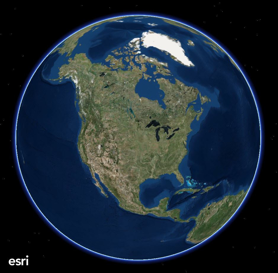 Currently our plan is to release this new app at the end of 2015. ArcGIS Earth allows anyone in the enterprise to easily and quickly view 3D maps over the Internet or behind a firewall. Knowledge workers who may not know GIS but who want to quickly view spatial information will be able to use ArcGIS Earth to access information that has been shared with them by file or URL. ArcGIS Earth is designed to enable rapid communication of spatial information, especially in large enterprises with many users who work collaboratively and need to share imagery, GIS features, and linked information. Users who need rapid access to KML and other open standard and proprietary GIS data will be able to quickly launch the app, explore data, and share information using a familiar workflow. They can follow links to external information, and double check important features on the map. ArcGIS Earth can be used to view 2D and 3D data, imagery, and other information in KML, Shapefiles, or CSV files. 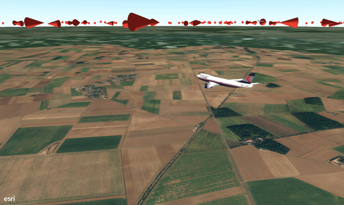 Users outside an enterprise firewall will have access to data served from ArcGIS Online, including basemaps, terrain, and data shared publicly by other users. Inside the firewall, users can create their own basemaps and services that can be viewed by anyone with ArcGIS Earth and other Esri client applications. Users can also share data privately with specific groups in their organization. ArcGIS Earth is part of Esri’s offer for Google customers and partners looking to transition to Esri software. Along with other capabilities of the ArcGIS platform, ArcGIS Earth provides an alternative to the Google Earth Enterprise Client. To learn more and be notified when it becomes available, visit the ArcGIS Earth web page. |
|


|
1楼#
发布于:2015-07-27 11:43
没试过这个功能。
|
|

